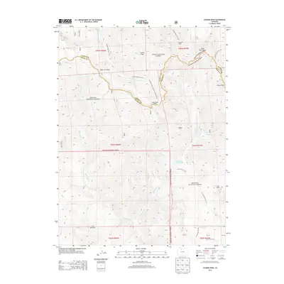
2013 Map of Hyannis Peak
USGS Topo · Published 2013About this map
Hyannis Peak and the Rabbit Ears Range dominate this high-altitude landscape along the border of Jackson and Grand Counties. The map follows the serpentine path of the Continental Divide National Scenic Trail (NST) as it winds through both the Routt National Forest and Arapaho National Forest. This 2013 survey illustrates the complex drainage systems of the region, where waters move through Troublesome Cr and Rabbit Ears Cr.
Find a feature on this map
38 named features on this map. Tap any name to fly to it.
Don’t see what you’re looking for? This feature index may not catch every label — zoom into the map to look around manually.
Map Details
Editions of this 2013 Hyannis Peak Map
This is the sole edition of this map. No revisions or reprints were ever made.
Other maps of this area

1954 · Craig
USGS Topo · 1:250,000

1956 · Kremmling
USGS Topo · 1:62,500

1956 · Spicer Peak
USGS Topo · 1:24,000

1956 · Parkview Mountain
USGS Topo · 1:24,000

1956 · Buffalo Peak
USGS Topo · 1:24,000

1956 · Whiteley Peak
USGS Topo · 1:24,000

1956 · Hyannis Peak
USGS Topo · 1:24,000

1956 · Rand
USGS Topo · 1:24,000

1956 · Hyannis Peak
USGS Topo · 1:62,500

1956 · Rand
USGS Topo · 1:62,500