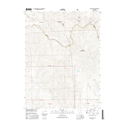
2016 Map of Hyannis Peak
USGS Topo · Published 2016About this map
Hyannis Peak Rabbit Ears Range anchors this high-altitude landscape where Jackson and Grand counties meet along the crest of the Continental Divide. This 2016 survey documents a complex network of headwaters feeding into both the Atlantic and Pacific watersheds, with drainages like Arapaho Creek and Troublesome Cr carving through the mountain terrain. The presence of Matheson Reservoir provides a human-engineered contrast to the natural topography of Arapaho Ridge and Poison Ridge. For those tracing the backcountry access of the early 21st century, the map details established routes including the Continental Divide National Scenic Trail and the Arapaho Creek Trail. The intersection of Arapaho National Forest and Routt National Forest highlights the managed wilderness character of the region, emphasizing the prominence of landmarks such as Sheep Mtn and Coal Mtn.
Find a feature on this map
36 named features on this map. Tap any name to fly to it.
Don’t see what you’re looking for? This feature index may not catch every label — zoom into the map to look around manually.
Map Details
Editions of this 2016 Hyannis Peak Map
This is the sole edition of this map. No revisions or reprints were ever made.
Other maps of this area

1954 · Craig
USGS Topo · 1:250,000

1956 · Kremmling
USGS Topo · 1:62,500

1956 · Spicer Peak
USGS Topo · 1:24,000

1956 · Parkview Mountain
USGS Topo · 1:24,000

1956 · Buffalo Peak
USGS Topo · 1:24,000

1956 · Whiteley Peak
USGS Topo · 1:24,000

1956 · Hyannis Peak
USGS Topo · 1:24,000

1956 · Rand
USGS Topo · 1:24,000

1956 · Hyannis Peak
USGS Topo · 1:62,500

1956 · Rand
USGS Topo · 1:62,500