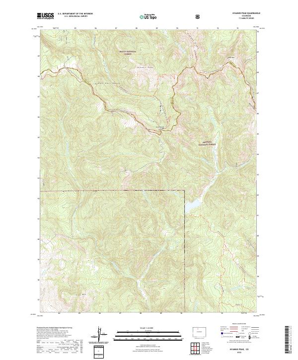
2022 Map of Hyannis Peak
USGS Topo · Published 2022About this map
The high alpine crest of the Rabbit Ears Range forms the centerpiece of this 2022 survey, marking the jagged boundary between Routt National Forest and Arapaho National Forest. At the heart of the quadrangle, Hyannis Peak rises as a prominent landmark near the Continental Divide, where the legendary Continental Divide National Scenic Trail winds through high-altitude terrain. The map documents a complex network of headwaters, with drainages like Troublesome Creek and Rabbit Ears Creek carving deep into the slopes.
Find a feature on this map
37 named features on this map. Tap any name to fly to it.
Don’t see what you’re looking for? This feature index may not catch every label — zoom into the map to look around manually.
Map Details
Editions of this 2022 Hyannis Peak Map
This is the sole edition of this map. No revisions or reprints were ever made.
Other maps of this area

1954 · Craig
USGS Topo · 1:250,000

1956 · Kremmling
USGS Topo · 1:62,500

1956 · Spicer Peak
USGS Topo · 1:24,000

1956 · Parkview Mountain
USGS Topo · 1:24,000

1956 · Buffalo Peak
USGS Topo · 1:24,000

1956 · Whiteley Peak
USGS Topo · 1:24,000

1956 · Hyannis Peak
USGS Topo · 1:24,000

1956 · Rand
USGS Topo · 1:24,000

1956 · Hyannis Peak
USGS Topo · 1:62,500

1956 · Rand
USGS Topo · 1:62,500