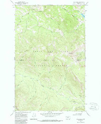
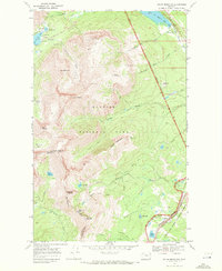
1968 Map of Hyde Creek
USGS Topo · Published 1987About this map
The Lewis and Clark National Forest dominates this mountain landscape, where the Blackfeet Indian Reservation Boundary cuts across the northern ridges. The high terrain is defined by the Two Medicine Ridge and prominent summits such as Mount Pablo and Mount Baldy, the latter supporting a Radio Facility. This 1968 field check reveals a network of watercourses feeding the Two Medicine River, including Hyde Creek, Woods Creek, and Mettler Coulee.
Find a feature on this map
27 named features on this map. Tap any name to fly to it.
Don’t see what you’re looking for? This feature index may not catch every label — zoom into the map to look around manually.
Map Details
Editions of this 1968 Hyde Creek Map
2 editions found
Other maps of this area

1913 · Marias Pass
USGS Topo · 1:125,000

1958 · Red Plume Mountain
USGS Topo · 1:24,000

1958 · Crescent Cliff
USGS Topo · 1:24,000

1960 · Cut Bank
USGS Topo · 1:250,000

1963 · Cut Bank
USGS Topo · 1:250,000

1964 · Cut Bank
USGS Topo · 1:250,000

1968 · Half Dome Crag
USGS Topo · 1:24,000
1968 · Morningstar Mountain
USGS Topo · 1:24,000
1968 · East Glacier Park
USGS Topo · 1:24,000
1968 · Squaw Mountain
USGS Topo · 1:24,000