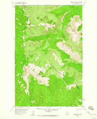
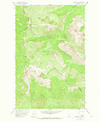
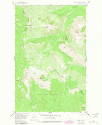
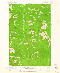
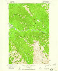
1958 Map of Crescent Cliff
USGS Topo · Published 1960About this map
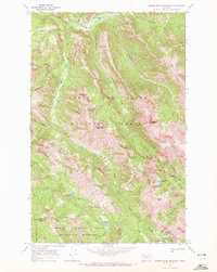
The Continental Divide snake through this high-altitude landscape where the Pondera and Flathead county line meets the boundary between the Lewis and Clark National Forest and Flathead National Forest. This 1958 survey captures a purely wilderness environment, devoid of permanent settlements or modern roads, defined instead by the steep relief of Crescent Cliff and peaks like Running Crane Mountain and Big Lodge Mountain.
Find a feature on this map
28 named features on this map. Tap any name to fly to it.
Don’t see what you’re looking for? This feature index may not catch every label — zoom into the map to look around manually.
Map Details
Editions of this 1958 Crescent Cliff Map
3 editions found
Other maps of this area

1913 · Marias Pass
USGS Topo · 1:125,000
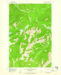
1958 · Red Plume Mountain
USGS Topo · 1:24,000
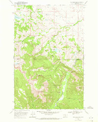
1958 · Gable Peaks
USGS Topo · 1:24,000
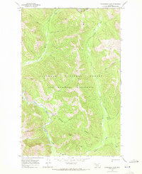
1958 · Capitol Mountain
USGS Topo · 1:24,000

1960 · Cut Bank
USGS Topo · 1:250,000

1963 · Cut Bank
USGS Topo · 1:250,000

1964 · Cut Bank
USGS Topo · 1:250,000
1968 · Half Dome Crag
USGS Topo · 1:24,000
1968 · Gooseberry Park
USGS Topo · 1:24,000
1968 · Morningstar Mountain
USGS Topo · 1:24,000