
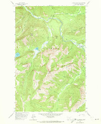
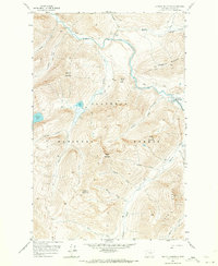
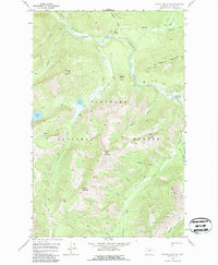
1958 Map of Capitol Mountain
USGS Topo · Published 1959About this map
The Middle Fork Flathead River carves a deep path through this portion of the Flathead National Forest, serving as a primary corridor for travel before the widespread development of modern roads. During the late 1950s, this backcountry area was defined by its reliance on an extensive network of pack trails rather than automotive routes. Schaefer Meadows provides one of the few natural openings in the heavily timbered terrain, situated near the confluence of major tributaries like Lodgepole Creek and Morrison Creek. The landscape is dominated by high-altitude peaks such as Capitol Mountain and Union Mountain, which enclose alpine water bodies including Scott Lake and Flotilla Lake. This survey illustrates a wilderness being managed for its natural resources and recreational access through routes like the Morrison Pack Trail and Big River Trail.
Find a feature on this map
37 named features on this map. Tap any name to fly to it.
Don’t see what you’re looking for? This feature index may not catch every label — zoom into the map to look around manually.
Map Details
Editions of this 1958 Capitol Mountain Map
4 editions found
Other maps of this area

1913 · Marias Pass
USGS Topo · 1:125,000

1936 · Silvertip
USGS Topo · 1:96,000

1942 · Silvertip
USGS Topo · 1:125,000

1955 · Choteau
USGS Topo · 1:250,000

1957 · Choteau
USGS Topo · 1:250,000

1958 · Choteau
USGS Topo · 1:250,000

1958 · Red Plume Mountain
USGS Topo · 1:24,000

1958 · Gable Peaks
USGS Topo · 1:24,000

1958 · Crescent Cliff
USGS Topo · 1:24,000

1958 · Mount Bradley
USGS Topo · 1:24,000