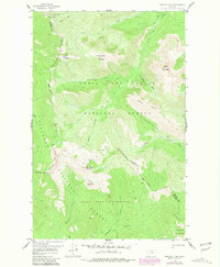
1958 Map of Crescent Cliff
USGS Topo · Published 1981About this map
The Continental Divide winds through this high-altitude landscape on the border of Pondera and Flathead counties, marking the hydrological crest of the Rockies. The terrain is defined by a series of prominent summits including Running Crane Mountain, Bullshoe Mountain, and Goat Mountain, with the dramatic Crescent Cliff falling away toward the western drainage. This 1958 survey, with revisions into the late 1970s, captures the transition of the northern forest before intensive modern management, showing the intersection of the Lewis and Clark and Flathead National Forest.
Find a feature on this map
34 named features on this map. Tap any name to fly to it.
Don’t see what you’re looking for? This feature index may not catch every label — zoom into the map to look around manually.
Map Details
Editions of this 1958 Crescent Cliff Map
3 editions found
Other maps of this area

1913 · Marias Pass
USGS Topo · 1:125,000

1958 · Red Plume Mountain
USGS Topo · 1:24,000

1958 · Gable Peaks
USGS Topo · 1:24,000

1958 · Capitol Mountain
USGS Topo · 1:24,000

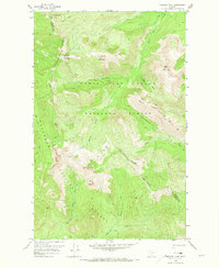
1958 · Crescent Cliff
USGS Topo · 1:24,000

1960 · Cut Bank
USGS Topo · 1:250,000

1963 · Cut Bank
USGS Topo · 1:250,000

1964 · Cut Bank
USGS Topo · 1:250,000

1968 · Half Dome Crag
USGS Topo · 1:24,000
1968 · Gooseberry Park
USGS Topo · 1:24,000