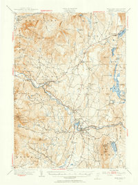
1953 Map of Hyde Park
USGS Topo · Published 1955About this map
The Lamoille River carves a central path through this mid-century Vermont landscape, serving as a corridor for the St Johnsbury and Lake Champlain Railroad and the Grand Army of the Republic Highway. In Johnson, the presence of the State Teachers College highlights the town's role as an educational hub, while nearby Talc Mine and various diggings such as Upper Diggings point to the region's extractive industries.
Find a feature on this map
123 named features on this map. Tap any name to fly to it.
Don’t see what you’re looking for? This feature index may not catch every label — zoom into the map to look around manually.
Map Details
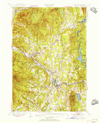
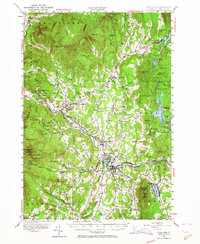
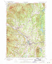
Editions of this 1953 Hyde Park Map
4 editions found
Other maps of this area

1919 · Montgomery
USGS Topo · 1:62,500

1919 · Montpelier
USGS Topo · 1:62,500

1920 · Franklin Pond
USGS Topo · 1:62,500

1920 · Montgomery
USGS Topo · 1:62,500

1920 · Irasburg
USGS Topo · 1:62,500

1921 · Richmond
USGS Topo · 1:48,000

1921 · Montpelier
USGS Topo · 1:62,500

1922 · Enosburg Falls
USGS Topo · 1:48,000

1923 · Irasburg
USGS Topo · 1:48,000

1924 · Camels Hump
USGS Topo · 1:62,500