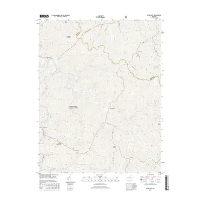
2016 Map of Hyden East
USGS Topo · Published 2016About this map
The mountain town of Hyden serves as the focal point for this survey of the Eastern Kentucky coalfields, where steep topography dictates the pattern of settlement along narrow valley floors. Much of the western portion of the sheet is protected as part of the Daniel Boone National Forest, a landscape defined by deeply etched drainage systems including Persimmon Hollow and Winding Star Hollow. Transport through this challenging terrain is facilitated by major routes such as the Hal Rogers Pky and Daniel Boone Pkwy, which cut across the high ridges. Smaller communities like Wooton, Smilax, and Wendover are situated near water gaps and fertile stretches like Dixon Bottom, illustrating the historical reliance on creek-side flats for agriculture and infrastructure in Leslie County.
Find a feature on this map
25 named features on this map. Tap any name to fly to it.
Don’t see what you’re looking for? This feature index may not catch every label — zoom into the map to look around manually.
Map Details
Editions of this 2016 Hyden East Map
This is the sole edition of this map. No revisions or reprints were ever made.
Other maps of this area

1891 · Hazard
USGS Topo · 1:125,000

1913 · Buckhorn
USGS Topo · 1:62,500

1914 · Troublesome
USGS Topo · 1:62,500

1916 · Cornettsville
USGS Topo · 1:62,500

1916 · Hyden
USGS Topo · 1:48,000

1919 · Hyden
USGS Topo · 1:62,500

1953 · Buckhorn
USGS Topo · 1:24,000

1953 · Hyden West
USGS Topo · 1:24,000

1954 · Krypton
USGS Topo · 1:24,000
1954 · Hyden East
USGS Topo · 1:24,000