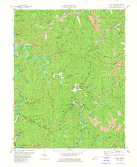
1980 Map of Hyden East
USGS Topo · Published 1980About this map
The Middle Fork Kentucky River and its confluence with Cutshin Creek define this section of the Kentucky coalfields, where the landscape is heavily marked by industrial activity. Large tracts of Strip Mines and individual Strip Mine operations are found throughout the steep ridges, particularly along the Leslie Co Perry Co line near Avawam. The 1980 state of the terrain shows the tension between natural watercourses and extractive industry, with sediment control and land revision evident in the drainage of Buckhorn Lake.
Find a feature on this map
64 named features on this map. Tap any name to fly to it.
Don’t see what you’re looking for? This feature index may not catch every label — zoom into the map to look around manually.
Map Details
Editions of this 1980 Hyden East Map
This is the sole edition of this map. No revisions or reprints were ever made.
Other maps of this area

1891 · Hazard
USGS Topo · 1:125,000

1913 · Buckhorn
USGS Topo · 1:62,500

1914 · Troublesome
USGS Topo · 1:62,500

1916 · Cornettsville
USGS Topo · 1:62,500

1916 · Hyden
USGS Topo · 1:48,000

1919 · Hyden
USGS Topo · 1:62,500

1953 · Buckhorn
USGS Topo · 1:24,000

1953 · Hyden West
USGS Topo · 1:24,000

1954 · Krypton
USGS Topo · 1:24,000
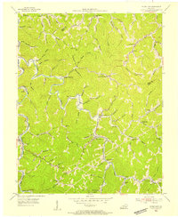
1954 · Hyden East
USGS Topo · 1:24,000