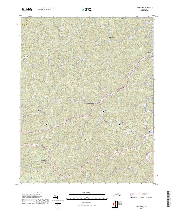
2022 Map of Hyden West
USGS Topo · Published 2022About this map
Thousandsticks sits at a central convergence of the winding Appalachian terrain, where the Hal Rogers Pky cuts through the steep ridges of Leslie County. The landscape is defined by an intricate network of narrow hollows and creeks, including Hell for Certain Cr and Bullskin Cr, which have dictated the patterns of settlement for generations. Small communities like Kaliopi, Sizerock, and Jason are tucked into these drainages, often centered around family landmarks and local burial grounds.
Find a feature on this map
80 named features on this map. Tap any name to fly to it.
Don’t see what you’re looking for? This feature index may not catch every label — zoom into the map to look around manually.
Map Details
Editions of this 2022 Hyden West Map
This is the sole edition of this map. No revisions or reprints were ever made.
Other maps of this area

1891 · Manchester
USGS Topo · 1:125,000

1891 · Hazard
USGS Topo · 1:125,000

1913 · Buckhorn
USGS Topo · 1:62,500

1916 · Hyden
USGS Topo · 1:48,000

1919 · Hyden
USGS Topo · 1:62,500

1953 · Buckhorn
USGS Topo · 1:24,000

1953 · Hyden West
USGS Topo · 1:24,000

1953 · Big Creek
USGS Topo · 1:24,000

1953 · Mistletoe
USGS Topo · 1:24,000

1954 · Krypton
USGS Topo · 1:24,000