
1930 Map of Hyder
USGS Topo · Published 1930About this map
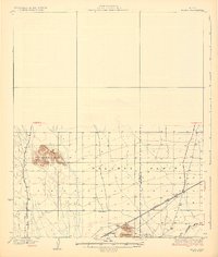
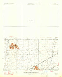
The Palomas Plain serves as the central landscape of this 1930 survey, illustrating a remote corridor of the Arizona desert during the late 1920s. Civil engineer Geo. W. P. Hunt served as Governor during this period, while the landscape remained defined by essential transit routes and water sources. The Southern Pacific railroad cuts through the southern reaches, providing the primary connection for the settlement at Hyder and the nearby Morris Ranch.
Find a feature on this map
11 named features on this map. Tap any name to fly to it.
Don’t see what you’re looking for? This feature index may not catch every label — zoom into the map to look around manually.
Map Details
Editions of this 1930 Hyder Map
3 editions found
Other maps of this area

1927 · Hyder
USGS Topo · 1:62,500

1929 · Aztec
USGS Topo · 1:62,500

1930 · Stoval
USGS Topo · 1:62,500

1942 · Vicksburg
USGS Topo · 1:250,000

1949 · Sentinel
USGS Topo · 1:62,500

1950 · Sentinel
USGS Topo · 1:62,500

1950 · Stoval
USGS Topo · 1:62,500

1950 · Aztec
USGS Topo · 1:62,500

1951 · Dendora Valley
USGS Topo · 1:62,500

1953 · Ajo
USGS Topo · 1:250,000