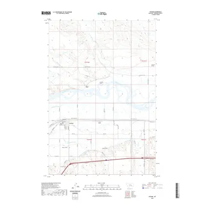
2020 Map of Hysham
USGS Topo · Published 2020About this map
The Yellowstone River snakes through this Treasure County landscape, defining the agricultural and civic life of Hysham. As the county seat, the town is anchored by the Treasure County Courthouse and a grid of streets including Pioneer Ave and Elliott Ave. The surrounding valley reveals a sophisticated irrigation network vital to the region's ranching and farming operations, featuring the Hysham Main Canal, Yellowstone Canal, and the Pioneer Canal.
Find a feature on this map
55 named features on this map. Tap any name to fly to it.
Don’t see what you’re looking for? This feature index may not catch every label — zoom into the map to look around manually.
Map Details
Editions of this 2020 Hysham Map
This is the sole edition of this map. No revisions or reprints were ever made.
Other maps of this area

1954 · Forsyth
USGS Topo · 1:250,000

1957 · Forsyth
USGS Topo · 1:250,000

1958 · Forsyth
USGS Topo · 1:250,000

1960 · Hysham
USGS Topo · 1:24,000

1960 · Steie Ranch
USGS Topo · 1:24,000

1960 · Vananda
USGS Topo · 1:24,000

1960 · Ahles
USGS Topo · 1:24,000

1960 · Myers
USGS Topo · 1:24,000

1960 · Sanders
USGS Topo · 1:24,000

1960 · Eldering Ranch
USGS Topo · 1:24,000