
1960 Map of Eldering Ranch
USGS Topo · Published 1962About this map
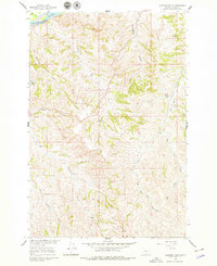
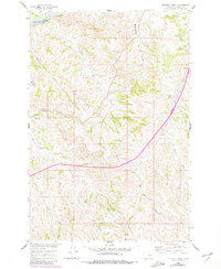
The Yellowstone River cuts through the northwest corner of this Treasure County landscape, accompanied by the Northern Pacific railroad line that traces the riverbank. This 1960 survey illustrates the high plains ranching environment, centered on the Eldering Ranch and a complex network of seasonal drainages. The terrain is defined by dramatic erosion patterns, including Buckingham Coulee and Jacobs Coulee, which channel water toward the larger valley.
Find a feature on this map
17 named features on this map. Tap any name to fly to it.
Don’t see what you’re looking for? This feature index may not catch every label — zoom into the map to look around manually.
Map Details
Editions of this 1960 Eldering Ranch Map
3 editions found
Other maps of this area

1954 · Forsyth
USGS Topo · 1:250,000

1957 · Forsyth
USGS Topo · 1:250,000

1958 · Forsyth
USGS Topo · 1:250,000

1960 · Bighorn
USGS Topo · 1:24,000

1960 · Hysham
USGS Topo · 1:24,000

1960 · Myers
USGS Topo · 1:24,000

1960 · Rancher Cemetery
USGS Topo · 1:24,000

1960 · Marsh Coulee
USGS Topo · 1:24,000

1960 · Hope Ranch
USGS Topo · 1:24,000
1972 · South Bear Creek
USGS Topo · 1:24,000