
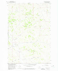
1960 Map of Hope Ranch
USGS Topo · Published 1962About this map
High plains ranching and remote drainage systems define this 1960s study of Treasure County. The landscape is anchored by the Hope Ranch and the Anderson Ranch, two prominent family-named holdings that speak to the region's agricultural heritage. Transportation across the ridgelines and coulees is primarily facilitated by an extensive network of Jeep Trails, indicating the rugged and utilitarian nature of travel during this period.
Find a feature on this map
22 named features on this map. Tap any name to fly to it.
Don’t see what you’re looking for? This feature index may not catch every label — zoom into the map to look around manually.
Map Details
Editions of this 1960 Hope Ranch Map
2 editions found
Other maps of this area

1954 · Hardin
USGS Topo · 1:250,000

1954 · Forsyth
USGS Topo · 1:250,000

1957 · Hardin
USGS Topo · 1:250,000

1957 · Forsyth
USGS Topo · 1:250,000

1958 · Forsyth
USGS Topo · 1:250,000

1958 · Hardin
USGS Topo · 1:250,000

1960 · Bighorn
USGS Topo · 1:24,000

1960 · Marsh Coulee
USGS Topo · 1:24,000

1960 · Eldering Ranch
USGS Topo · 1:24,000

1972 · Hammond Ranch
USGS Topo · 1:24,000