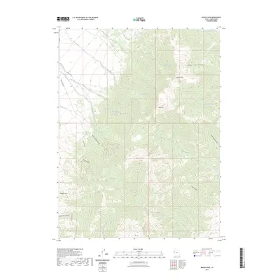
2023 Map of Ibapah Peak
USGS Topo · Published 2023About this map
Ibapah Peak and Haystack Peak anchor the high-altitude landscape of the Deep Creek Range in this modern topographic survey of western Utah. The high desert terrain is carved by steep drainages, including Queen of Sheba Canyon and Jumbo Canyon, which descend toward the surrounding valley floor. This area’s history of prospecting and resource extraction is marked by access routes like Crystal Mine Rd and Queen Sheba Rd, indicating the persistent human effort to navigate and mine these remote slopes.
Find a feature on this map
26 named features on this map. Tap any name to fly to it.
Don’t see what you’re looking for? This feature index may not catch every label — zoom into the map to look around manually.
Map Details
Editions of this 2023 Ibapah Peak Map
This is the sole edition of this map. No revisions or reprints were ever made.
Other maps of this area

1908 · Fish Springs
USGS Topo · 1:250,000

1910 · Fish Springs
USGS Topo · 1:250,000

1953 · Delta
USGS Topo · 1:250,000

1956 · Ely
USGS Topo · 1:250,000

1958 · Delta
USGS Topo · 1:250,000

1959 · Ely
USGS Topo · 1:250,000

1961 · Trout Creek
USGS Topo · 1:62,500

1962 · Delta
USGS Topo · 1:250,000

1963 · Ely
USGS Topo · 1:250,000
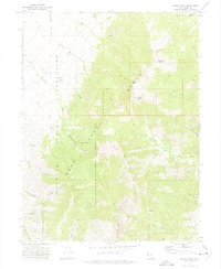
1972 · Ibapah Peak
USGS Topo · 1:24,000