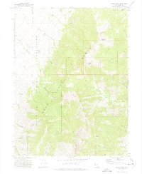
1972 Map of Ibapah Peak
USGS Topo · Published 1975About this map
The Deep Creek Mountains dominate this high-altitude landscape, where the Goshute Indian Reservation boundary cuts through rugged alpine terrain. This area was documented in the early 1970s, capturing a remote region defined by steep canyons and sparse mining activity. Evidence of industrial history is visible at the Queen of Sheba Mine, which is connected by the Queen of Sheba Trail to the lower elevations. The map reveals a network of primitive pack trails and footpaths, such as the Granite Trail and Birch Creek Trail, which navigate the sharp rises toward Ibapah Peak and Haystack Peak. The presence of Ruins near the reservation line suggests former habitation or temporary shelters associated with early resource extraction. Water remains the primary shaper of the topography, with numerous drainages like Fifteenmile Creek and Trout Creek carving deep notches into the mountain massif.
Find a feature on this map
28 named features on this map. Tap any name to fly to it.
Don’t see what you’re looking for? This feature index may not catch every label — zoom into the map to look around manually.
Map Details
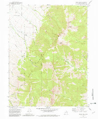
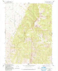
Editions of this 1972 Ibapah Peak Map
3 editions found
Other maps of this area

1908 · Fish Springs
USGS Topo · 1:250,000

1910 · Fish Springs
USGS Topo · 1:250,000

1953 · Delta
USGS Topo · 1:250,000

1956 · Ely
USGS Topo · 1:250,000

1958 · Delta
USGS Topo · 1:250,000

1959 · Ely
USGS Topo · 1:250,000

1961 · Trout Creek
USGS Topo · 1:62,500

1962 · Delta
USGS Topo · 1:250,000

1963 · Ely
USGS Topo · 1:250,000
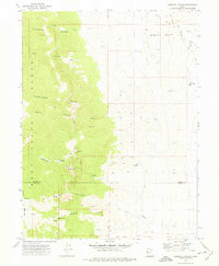
1972 · Goshute Canyon
USGS Topo · 1:24,000