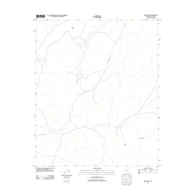
2011 Map of Ibex Peak
USGS Topo · Published 2011About this map
Ibex Peak and the surrounding desert elevations dominate this portion of La Paz County, providing a clear view of the arid landscape as it was documented in 2011. The terrain is characterized by intermittent drainages and prominent landmarks like Four Peaks to the north and Haystack Peak to the southeast. Human activity is represented primarily by the primitive transportation network, including Plomosa Rd and Bouse-Quartzsite Rd, which intersect within these desert flats. These roads suggest a landscape primarily utilized for transit and recreation between remote outposts, where the sparse topography dictated the path of early trails and modern 4WD routes.
Find a feature on this map
5 named features on this map. Tap any name to fly to it.
Don’t see what you’re looking for? This feature index may not catch every label — zoom into the map to look around manually.
Map Details
Editions of this 2011 Ibex Peak Map
This is the sole edition of this map. No revisions or reprints were ever made.
Other maps of this area

1930 · Linskey
USGS Topo · 1:62,500

1942 · Blythe
USGS Topo · 1:250,000

1942 · Vicksburg
USGS Topo · 1:250,000

1954 · Salton Sea
USGS Topo · 1:250,000

1954 · Phoenix
USGS Topo · 1:250,000

1955 · Salton Sea
USGS Topo · 1:250,000

1957 · Phoenix
USGS Topo · 1:250,000

1958 · Phoenix
USGS Topo · 1:250,000

1959 · Salton Sea
USGS Topo · 1:250,000

1960 · Phoenix
USGS Topo · 1:250,000