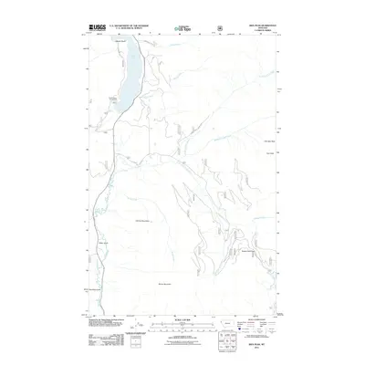
2011 Map of Ibex Peak
USGS Topo · Published 2011About this map
The Cabinet Mountains dominate this 2011 survey, defining a landscape of high summits and deep drainages in Lincoln County. The Bull River serves as the primary corridor through the western portion of the map, flowing south past Baker Gulch and Hamilton Gulch. At the northern edge, Bull Lake is a focal point for recreation and local access, bordered by W Shore Bull Lk and the Bad Medicine Campground.
Find a feature on this map
25 named features on this map. Tap any name to fly to it.
Don’t see what you’re looking for? This feature index may not catch every label — zoom into the map to look around manually.
Map Details
Editions of this 2011 Ibex Peak Map
This is the sole edition of this map. No revisions or reprints were ever made.
Other maps of this area

1920 · Libby
USGS Topo · 1:125,000

1930 · Libby
USGS Topo · 1:125,000

1932 · Libby
USGS Topo · 1:125,000

1957 · Kalispell
USGS Topo · 1:250,000

1960 · Kalispell
USGS Topo · 1:250,000

1961 · Kalispell
USGS Topo · 1:250,000
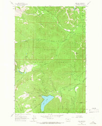
1963 · Spar Lake
USGS Topo · 1:24,000

1963 · Treasure Mountain
USGS Topo · 1:24,000
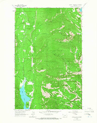
1963 · Crowell Mountain
USGS Topo · 1:24,000
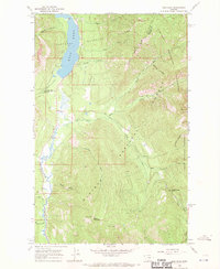
1966 · Ibex Peak
USGS Topo · 1:24,000