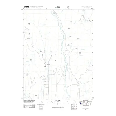
2011 Map of Ice Cave Peak
USGS Topo · Published 2011About this map
Whiterocks serves as a focal point for this 2011 survey, situated where the Whiterocks River emerges into a landscape defined by high ridges and significant water management. The area is characterized by an extensive network of irrigation and livestock infrastructure, including the Whiterocks Canal, Farm Creek Canal, and the Mosby Canal. These man-made watercourses support local agriculture alongside features like the Farm Creek Grazing Enclosure and the Bull Pasture.
Find a feature on this map
79 named features on this map. Tap any name to fly to it.
Don’t see what you’re looking for? This feature index may not catch every label — zoom into the map to look around manually.
Map Details
Editions of this 2011 Ice Cave Peak Map
This is the sole edition of this map. No revisions or reprints were ever made.
Other maps of this area
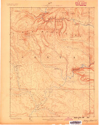
1885 · Ashley
USGS Topo · 1:250,000
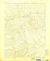
1885 · Uinta
USGS Topo · 1:250,000
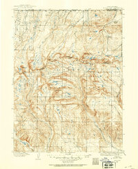
1905 · Gilbert Peak
USGS Topo · 1:125,000
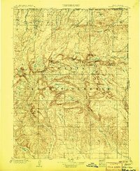
1906 · Gilbert Peak
USGS Topo · 1:125,000
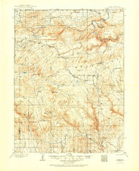
1906 · Marsh Peak
USGS Topo · 1:125,000
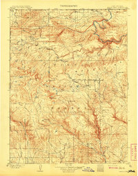
1908 · Marsh Peak
USGS Topo · 1:125,000
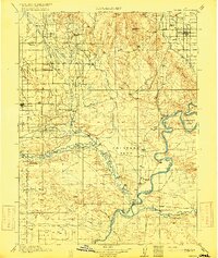
1917 · Vernal
USGS Topo · 1:125,000
1939 · Duchesne
USGS Topo · 1:125,000
1954 · Salt Lake City
USGS Topo · 1:250,000

1954 · Vernal
USGS Topo · 1:250,000