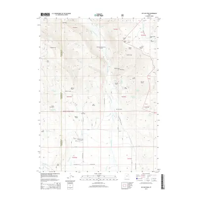
2014 Map of Ice Cave Peak
USGS Topo · Published 2014About this map
Ashley National Forest dominates this section of the Uinta Basin, where the high country drops into a complex system of canyons and draws. The landscape is defined by the Whiterocks River and Farm Cr, which feed an intricate network of irrigation features such as the Whiterocks Canal, Farm Cr Canal, and Duncan Ditch. These water systems reflect the agricultural development of the region, specifically near the community of Whiterocks.
Find a feature on this map
68 named features on this map. Tap any name to fly to it.
Don’t see what you’re looking for? This feature index may not catch every label — zoom into the map to look around manually.
Map Details
Editions of this 2014 Ice Cave Peak Map
This is the sole edition of this map. No revisions or reprints were ever made.
Other maps of this area
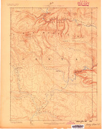
1885 · Ashley
USGS Topo · 1:250,000
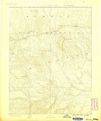
1885 · Uinta
USGS Topo · 1:250,000
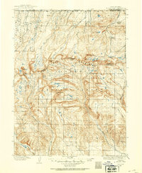
1905 · Gilbert Peak
USGS Topo · 1:125,000
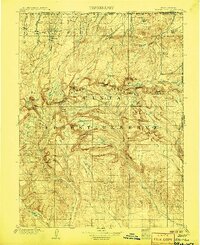
1906 · Gilbert Peak
USGS Topo · 1:125,000
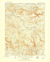
1906 · Marsh Peak
USGS Topo · 1:125,000
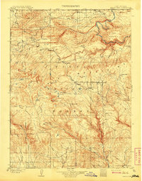
1908 · Marsh Peak
USGS Topo · 1:125,000
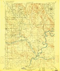
1917 · Vernal
USGS Topo · 1:125,000
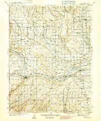
1939 · Duchesne
USGS Topo · 1:125,000
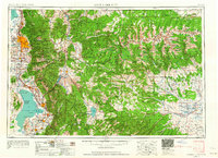
1954 · Salt Lake City
USGS Topo · 1:250,000

1954 · Vernal
USGS Topo · 1:250,000