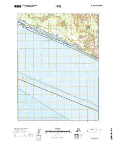
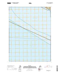
2017 Map of Icy Bay D-1 SW
USGS Topo · Published 2017About this map
The Yahse River meanders through a complex system of coastal wetlands and low-lying estuaries before reaching the northern edge of the Gulf of Alaska. This 2017 survey by the U.S. Geological Survey documents the highly dynamic shoreline of the Yakutat Borough, where sediment deposits and tidal action create a shifting barrier of land between the inland water bodies and the open ocean.
Find a feature on this map
11 named features on this map. Tap any name to fly to it.
Don’t see what you’re looking for? This feature index may not catch every label — zoom into the map to look around manually.
Map Details
Editions of this 2017 Icy Bay D-1 SW Map
This is the sole edition of this map. No revisions or reprints were ever made.
Other maps of this area

1948 · Icy Bay D-2 and D-3
USGS Topo · 1:63,360

1950 · Icy Bay
USGS Topo · 1:250,000

1951 · Icy Bay D-2 and D-3
USGS Topo · 1:63,360

1951 · Icy Bay
USGS Topo · 1:250,000
1959 · Icy Bay D-2 and D-3
USGS Topo · 1:63,360

1961 · Icy Bay
USGS Topo · 1:250,000
1985 · Icy Bay D-1
USGS Topo · 1:63,360
2017 · Icy Bay D-1 NW
USGS Topo · 1:25,000
2017 · Icy Bay D-2 SE
USGS Topo · 1:25,000
2017 · Icy Bay D-1 NE
USGS Topo · 1:25,000