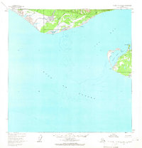
1959 Map of Icy Bay D-2 and D-3
USGS Topo · Published 1966About this map
Icy Cape and the surrounding coastline of the Gulf of Alaska dominate this mid-century survey of the Yakutat region. The map captures a remote frontier landscape where the terrestrial world meets the sea at Claybluff Point and Point Riou. Evidence of human activity is sparse but significant, marked by a lone Landing Strip near the Priest River and a single Cabin situated along the northern shore.
Find a feature on this map
25 named features on this map. Tap any name to fly to it.
Don’t see what you’re looking for? This feature index may not catch every label — zoom into the map to look around manually.
Map Details
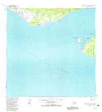
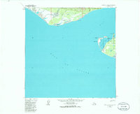
Editions of this 1959 Icy Bay D-2 and D-3 Map
3 editions found
Other maps of this area

1948 · Icy Bay D-2 and D-3
USGS Topo · 1:63,360

1950 · Bering Glacier A-3
USGS Topo · 1:63,360

1950 · Bering Glacier
USGS Topo · 1:250,000

1950 · Icy Bay
USGS Topo · 1:250,000

1951 · Icy Bay D-2 and D-3
USGS Topo · 1:63,360

1951 · Icy Bay
USGS Topo · 1:250,000

1951 · Bering Glacier
USGS Topo · 1:250,000

1951 · Bering Glacier A-2
USGS Topo · 1:63,360

1959 · Bering Glacier
USGS Topo · 1:250,000
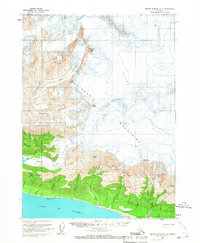
1959 · Bering Glacier A-3
USGS Topo · 1:63,360