
1951 Map of Bering Glacier A-2
USGS Topo · Published 1952About this map
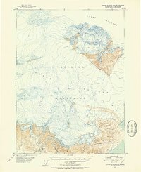
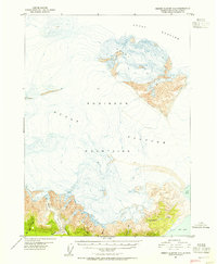
Guyot Glacier dominates this landscape, sweeping across a vast portion of the terrain as it appeared in the late 1940s. The massive ice field is framed by the steep elevations of the Guyot Hills and the Robinson Mountains, which provide a stark contrast to the glacial flow. To the south, the coastal transition becomes evident where several waterways emerge from the ice and mountain runoff. Drainage patterns are defined by Big Sandy Creek, Big River, and Crooked Creek, all of which contribute to the intricate shoreline of Icy Bay. Further east, Independence Creek and Bear Glacier illustrate the dynamic glacial environment of this coastal region. The map provides a precise record of the shoreline and ice extents based on 1948 aerial photography, capturing the geomorphology of the Alaskan coast before more modern shifts in the glacial front.
Find a feature on this map
11 named features on this map. Tap any name to fly to it.
Don’t see what you’re looking for? This feature index may not catch every label — zoom into the map to look around manually.
Map Details
Editions of this 1951 Bering Glacier A-2 Map
3 editions found
Other maps of this area

1948 · Icy Bay D-2 and D-3
USGS Topo · 1:63,360

1950 · Bering Glacier A-3
USGS Topo · 1:63,360

1950 · Bering Glacier
USGS Topo · 1:250,000

1950 · Icy Bay
USGS Topo · 1:250,000

1951 · Icy Bay D-2 and D-3
USGS Topo · 1:63,360

1951 · Icy Bay
USGS Topo · 1:250,000

1951 · Bering Glacier
USGS Topo · 1:250,000
1959 · Icy Bay D-2 and D-3
USGS Topo · 1:63,360

1959 · Bering Glacier
USGS Topo · 1:250,000
1959 · Bering Glacier A-3
USGS Topo · 1:63,360