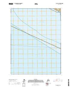
2017 Map of Icy Bay D-2 SE
USGS Topo · Published 2017About this map
Gulf of Alaska waters dominate this coastal survey, where the open expanse of the Pacific Ocean meets the southern maritime boundaries of the Alaska Yakutat Borough. The map highlights a critical navigational and administrative corridor, including the Whittier - Yakutat line. As a modern digital representation of this remote shoreline, the sheet focuses on the intersection of borough jurisdictions and the vast marine environment. The lack of terrestrial landmarks emphasizes the isolation of this reach of the northern Pacific, serving primarily to define the territorial waters and administrative divisions of the region in the early twenty-first century.
Find a feature on this map
5 named features on this map. Tap any name to fly to it.
Don’t see what you’re looking for? This feature index may not catch every label — zoom into the map to look around manually.
Map Details
Editions of this 2017 Icy Bay D-2 SE Map
This is the sole edition of this map. No revisions or reprints were ever made.
Other maps of this area

1948 · Icy Bay D-2 and D-3
USGS Topo · 1:63,360

1950 · Icy Bay
USGS Topo · 1:250,000

1951 · Icy Bay D-2 and D-3
USGS Topo · 1:63,360

1951 · Icy Bay
USGS Topo · 1:250,000
1959 · Icy Bay D-2 and D-3
USGS Topo · 1:63,360

1961 · Icy Bay
USGS Topo · 1:250,000
1985 · Icy Bay D-1
USGS Topo · 1:63,360
2017 · Icy Bay D-1 NW
USGS Topo · 1:25,000
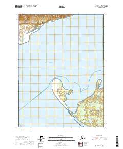
2017 · Icy Bay D-2 NE
USGS Topo · 1:25,000
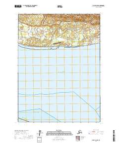
2017 · Icy Bay D-2 NW
USGS Topo · 1:25,000