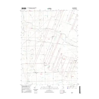
2017 Map of Ida
USGS Topo · Published 2017About this map
The River Raisin meanders through the heart of this southeast Michigan landscape, serving as a focal point for the small farming communities of Ida, Strasburg, and Grape. The terrain is defined by an intricate network of agricultural drainage systems, including the Shober Number One Drain and Summerfield and Ida Drain, which reflect the region's long-standing commitment to productive land use. For those tracing family histories, the area is dotted with significant local landmarks such as the West Ida Emmanuel Lutheran Church Cem and Saint Joseph Cem. The settlement pattern is largely dictated by historical section lines and roads like Plank Rd and Ida Maybee Rd, illustrating the transition from early township development to modern rural residences. This survey provides a clear view of the dispersed hamlets like Lulu and the scattered family burial grounds like Rath Cem and King Cem that anchor the local heritage.
Find a feature on this map
93 named features on this map. Tap any name to fly to it.
Don’t see what you’re looking for? This feature index may not catch every label — zoom into the map to look around manually.
Map Details
Editions of this 2017 Ida Map
This is the sole edition of this map. No revisions or reprints were ever made.
Other maps of this area

1902 · Ypsilanti
USGS Topo · 1:62,500

1904 · Ann Arbor
USGS Topo · 1:125,000

1906 · Ypsilanti
USGS Topo · 1:62,500

1906 · Romulus
USGS Topo · 1:62,500

1908 · Ann Arbor
USGS Topo · 1:125,000

1912 · Monroe
USGS Topo · 1:62,500

1912 · Dundee
USGS Topo · 1:62,500

1914 · Monroe
USGS Topo · 1:62,500

1926 · Dundee
USGS Topo · 1:62,500

1927 · Monroe
USGS Topo · 1:31,680