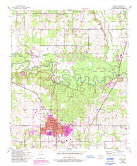
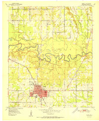
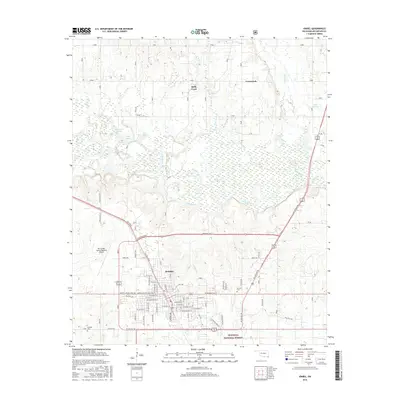
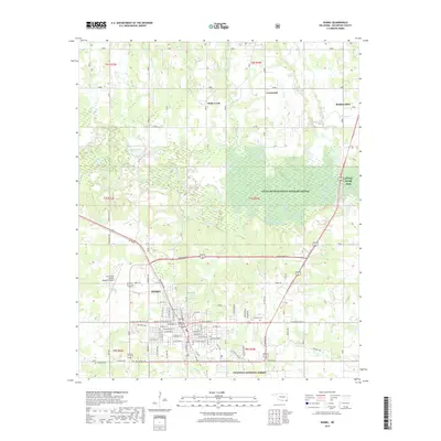
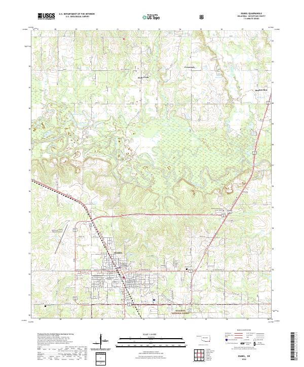
1986 Map of Idabel
USGS Topo · Published 1986About this map
The Red River forms a winding, complex border where Oklahoma, Arkansas, and Texas meet, defining the agricultural and riparian character of this tri-state region. In the mid-1980s, the landscape was anchored by the regional hub of Idabel, while smaller settlements like Foreman (New Rocky Comfort) and Ashdown served the surrounding timber and farming communities. The influence of the Missouri Pacific and Kansas City Southern railroads is evident, as they connect the scattered towns and move goods across the river valleys.
Find a feature on this map
124 named features on this map. Tap any name to fly to it.
Don’t see what you’re looking for? This feature index may not catch every label — zoom into the map to look around manually.
Map Details
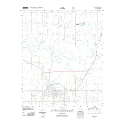
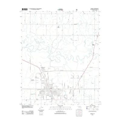
Editions of this 1986 Idabel Map
This is the sole edition of this map. No revisions or reprints were ever made.
Historical Maps of Texarkana Through Time
9 maps found