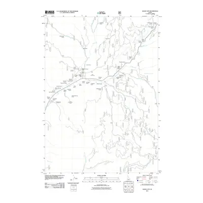
2011 Map of Idaho City
USGS Topo · Published 2011About this map
Idaho City sits at the confluence of several drainages, reflecting a landscape deeply shaped by gold rush history and later conservation management. The town is surrounded by a dense network of gulches—such as Slaughterhouse Gulch, Humbug Gulch, and Charcoal Gulch—that name the terrain's varied folds. Traces of early mining and municipal life are evident at the Gold Hill Mine and two distinct burial grounds, Pioneer Cemetery and Boot Hill Cemetery.
Find a feature on this map
64 named features on this map. Tap any name to fly to it.
Don’t see what you’re looking for? This feature index may not catch every label — zoom into the map to look around manually.
Map Details
Editions of this 2011 Idaho City Map
This is the sole edition of this map. No revisions or reprints were ever made.
Other maps of this area
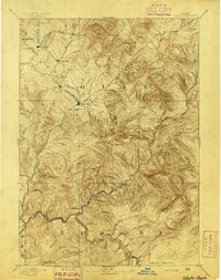
1894 · Idaho Basin
USGS Topo · 1:125,000
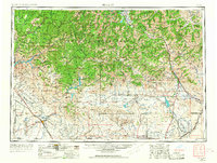
1955 · Hailey
USGS Topo · 1:250,000
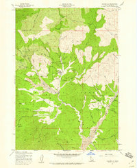
1957 · Placerville
USGS Topo · 1:24,000
1957 · Pioneerville
USGS Topo · 1:24,000
1957 · Warm Springs Point
USGS Topo · 1:24,000
1957 · Idaho City
USGS Topo · 1:24,000
1959 · Hailey
USGS Topo · 1:250,000
1962 · Hailey
USGS Topo · 1:250,000
1964 · Twin Springs
USGS Topo · 1:24,000
1969 · Dunnigan Creek
USGS Topo · 1:24,000