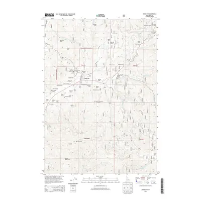
2013 Map of Idaho City
USGS Topo · Published 2013About this map
Idaho City serves as the central hub of this Boise Basin survey, where the convergence of Elk Cr and Mores Cr highlights a landscape deeply shaped by gold rush history. The map preserves local heritage through the presence of the Pioneer Cem and the famous Boot Hill Cem, resting just north of the town center. The surrounding terrain is a dense network of gulches with names that evoke the region's industrious past, including Slaughterhouse Gulch, Charcoal Gulch, and California Gulch.
Find a feature on this map
78 named features on this map. Tap any name to fly to it.
Don’t see what you’re looking for? This feature index may not catch every label — zoom into the map to look around manually.
Map Details
Editions of this 2013 Idaho City Map
This is the sole edition of this map. No revisions or reprints were ever made.
Other maps of this area
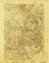
1894 · Idaho Basin
USGS Topo · 1:125,000
1955 · Hailey
USGS Topo · 1:250,000
1957 · Placerville
USGS Topo · 1:24,000
1957 · Pioneerville
USGS Topo · 1:24,000
1957 · Warm Springs Point
USGS Topo · 1:24,000
1957 · Idaho City
USGS Topo · 1:24,000
1959 · Hailey
USGS Topo · 1:250,000
1962 · Hailey
USGS Topo · 1:250,000
1964 · Twin Springs
USGS Topo · 1:24,000
1969 · Dunnigan Creek
USGS Topo · 1:24,000