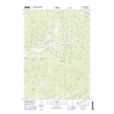
2017 Map of Idaho City
USGS Topo · Published 2017About this map
Idaho City sits as the central hub of the Boise Basin, an area defined by its deep mining heritage and rugged drainage systems. This 2017 survey highlights the dense concentration of gold-rush era nomenclature, where dozens of named gulches like Illinois Gulch, Slaughterhouse Gulch, and California Gulch tell the story of 19th-century resource extraction. The landscape is heavily marked by water management infrastructure required for placer mining, including the Franer Canal and Mine Ditch.
Find a feature on this map
84 named features on this map. Tap any name to fly to it.
Don’t see what you’re looking for? This feature index may not catch every label — zoom into the map to look around manually.
Map Details
Editions of this 2017 Idaho City Map
This is the sole edition of this map. No revisions or reprints were ever made.
Other maps of this area
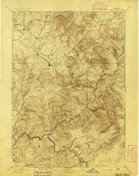
1894 · Idaho Basin
USGS Topo · 1:125,000
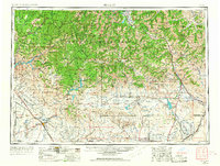
1955 · Hailey
USGS Topo · 1:250,000
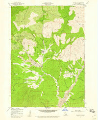
1957 · Placerville
USGS Topo · 1:24,000
1957 · Pioneerville
USGS Topo · 1:24,000
1957 · Warm Springs Point
USGS Topo · 1:24,000
1957 · Idaho City
USGS Topo · 1:24,000
1959 · Hailey
USGS Topo · 1:250,000
1962 · Hailey
USGS Topo · 1:250,000
1964 · Twin Springs
USGS Topo · 1:24,000
1969 · Dunnigan Creek
USGS Topo · 1:24,000