
1948 Map of Idaho Falls South
USGS Topo · Published 1965About this map
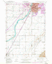
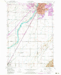
Idaho Falls dominates the northern reaches of this mid-century survey, its urban core defined by landmarks like the LDS Temple and Sacred Heart Hospital. The city’s expansion south is recorded in the grid of Tautphaus Park and the extensive grounds of Rose Hill Cem. Beyond the city limits, the landscape transitions into a complex network of irrigation and agriculture. The Snake River winds through the center of the sheet, feeding a vast system of man-made waterways including the Porter Canal, Western Canal, and Idaho Canal.
Find a feature on this map
70 named features on this map. Tap any name to fly to it.
Don’t see what you’re looking for? This feature index may not catch every label — zoom into the map to look around manually.
Map Details
Editions of this 1948 Idaho Falls South Map
3 editions found
Other maps of this area

1924 · Ammon
USGS Topo · 1:62,500

1948 · Woodville
USGS Topo · 1:24,000

1948 · Idaho Falls North
USGS Topo · 1:24,000

1948 · Ucon
USGS Topo · 1:24,000

1949 · Ucon
USGS Topo · 1:24,000

1949 · Idaho Falls North
USGS Topo · 1:24,000

1949 · Roberts
USGS Topo · 1:62,500

1949 · Shattuck Butte
USGS Topo · 1:24,000

1950 · Shattuck Butte
USGS Topo · 1:24,000

1950 · Woodville
USGS Topo · 1:24,000