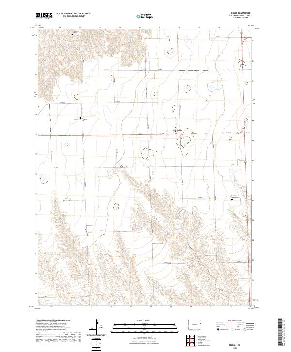
2022 Map of Idalia
USGS Topo · Published 2022About this map
Idalia serves as the central hub for this corner of Yuma County, positioned at the intersection of a sprawling grid of rural section roads. The landscape is defined by the high plains, where the gentle drainage of Armknecht Cr cuts through the eastern reaches. Local history is deeply rooted in the small cemeteries that dot the landscape, including the Mildred Cem, Lucas Memorial Cem, and the Saint Johns Evangelical Cem further south. A particularly unique landmark, the Grave of Buffalo Hunter, sits in the northern section of the survey, pointing to the region's frontier past. The map meticulously records the township and range boundaries from t3s r44w down to t5s r45w, illustrating the geometric precision of the Public Land Survey System as it organized this agricultural territory.
Find a feature on this map
28 named features on this map. Tap any name to fly to it.
Don’t see what you’re looking for? This feature index may not catch every label — zoom into the map to look around manually.
Map Details
Editions of this 2022 Idalia Map
This is the sole edition of this map. No revisions or reprints were ever made.
Other maps of this area

1950 · Bonny Reservoir
USGS Topo · 1:62,500

1954 · Limon
USGS Topo · 1:250,000

1957 · Limon
USGS Topo · 1:250,000

1958 · Limon
USGS Topo · 1:250,000

1963 · Beecher Island
USGS Topo · 1:24,000

1963 · Wildcat Canyon
USGS Topo · 1:24,000

1968 · Vernon SW
USGS Topo · 1:24,000

1968 · Bonny Reservoir North
USGS Topo · 1:24,000

1968 · Spring Canyon
USGS Topo · 1:24,000

1968 · Idalia
USGS Topo · 1:24,000