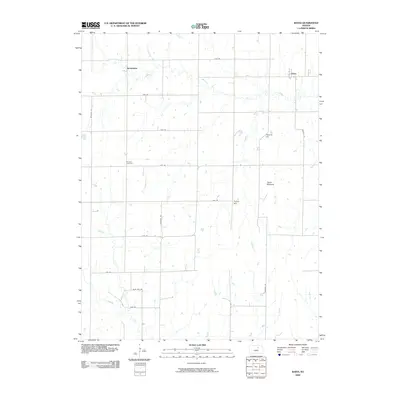
2009 Map of Idana
USGS Topo · Published 2009About this map
Shields Cemetery sits at the center of this Clay County landscape, where the rural grid of the early 21st century overlays a terrain defined by distinctive upland features. The small settlement of Idana occupies the northeast corner, while Browndale is situated further west, connected by an extensive network of range roads including Meridian Rd and 17th Rd.
Find a feature on this map
23 named features on this map. Tap any name to fly to it.
Don’t see what you’re looking for? This feature index may not catch every label — zoom into the map to look around manually.
Map Details
Editions of this 2009 Idana Map
This is the sole edition of this map. No revisions or reprints were ever made.
Other maps of this area
1891 · Clay Center
USGS Topo · 1:125,000
1955 · Manhattan
USGS Topo · 1:250,000
1956 · Manhattan
USGS Topo · 1:250,000
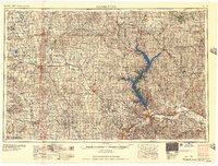
1957 · Manhattan
USGS Topo · 1:250,000
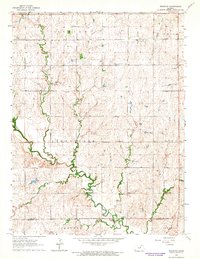
1964 · Industry
USGS Topo · 1:24,000
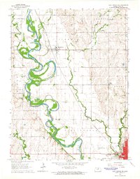
1964 · Clay Center NW
USGS Topo · 1:24,000
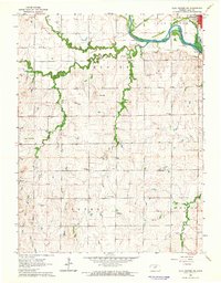
1964 · Clay Center SW
USGS Topo · 1:24,000
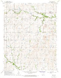
1964 · Idana
USGS Topo · 1:24,000
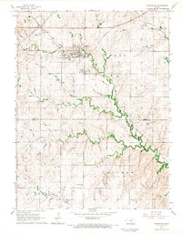
1964 · Miltonvale
USGS Topo · 1:24,000
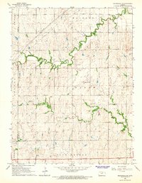
1964 · Miltonvale NE
USGS Topo · 1:24,000