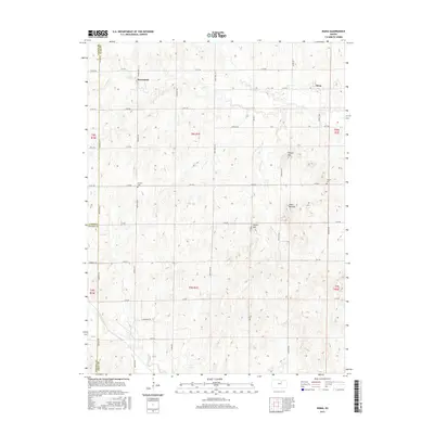
2015 Map of Idana
USGS Topo · Published 2015About this map
Idana and Browndale anchor this corner of the Kansas prairie, showing a landscape defined by an orderly grid of county roads and intermittent creek beds. Significant topographical features like Table Mounds, Potato Hill, and Tobyne Hill rise above the drainage basins of Five Cr and Pinkerton Br, providing landmarks in an otherwise open terrain. The map records the intersection of Clay, Cloud, and Ottawa counties, preserving the location of family and community sites like Hebron Cem and Shields Cem. These cemeteries, situated along 14th Rd, serve as vital touchstones for genealogists tracing early settler families. The extensive road network, including Meridian Rd and Buffalo Rd, illustrates the persistent agricultural footprint of the region in the early twenty-first century, even as small-town centers like Idana remained the focal points of local geography.
Find a feature on this map
41 named features on this map. Tap any name to fly to it.
Don’t see what you’re looking for? This feature index may not catch every label — zoom into the map to look around manually.
Map Details
Editions of this 2015 Idana Map
This is the sole edition of this map. No revisions or reprints were ever made.
Other maps of this area
1891 · Clay Center
USGS Topo · 1:125,000
1955 · Manhattan
USGS Topo · 1:250,000
1956 · Manhattan
USGS Topo · 1:250,000
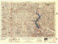
1957 · Manhattan
USGS Topo · 1:250,000
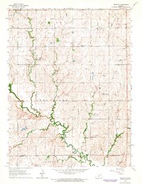
1964 · Industry
USGS Topo · 1:24,000
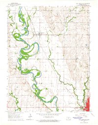
1964 · Clay Center NW
USGS Topo · 1:24,000
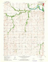
1964 · Clay Center SW
USGS Topo · 1:24,000
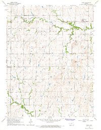
1964 · Idana
USGS Topo · 1:24,000
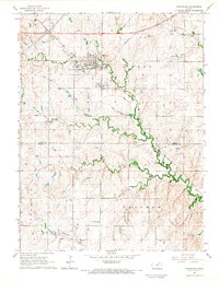
1964 · Miltonvale
USGS Topo · 1:24,000
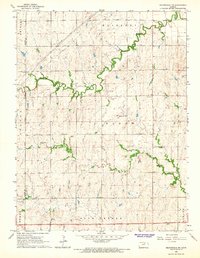
1964 · Miltonvale NE
USGS Topo · 1:24,000