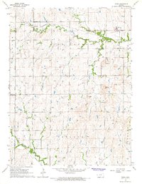
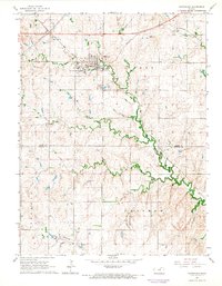
1964 Map of Idana
USGS Topo · Published 1966About this map
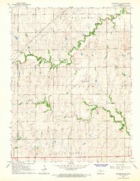
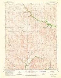
Idana sits near the eastern edge of this agricultural landscape in Clay County, where the prairie is defined by the winding course of Five Creeks. The map captures the infrastructure of rural Kansas during the mid-1960s, showing a transition between established small-town life and the legacy of earlier rural school districts. To the west, the settlement of Browndale is marked by the Browndale Sch, serving the surrounding farmsteads.
Find a feature on this map
25 named features on this map. Tap any name to fly to it.
Don’t see what you’re looking for? This feature index may not catch every label — zoom into the map to look around manually.
Map Details
Editions of this 1964 Idana Map
This is the sole edition of this map. No revisions or reprints were ever made.
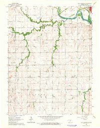
Other maps of this area

1891 · Clay Center
USGS Topo · 1:125,000

1955 · Manhattan
USGS Topo · 1:250,000

1956 · Manhattan
USGS Topo · 1:250,000

1957 · Manhattan
USGS Topo · 1:250,000
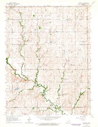
1964 · Industry
USGS Topo · 1:24,000
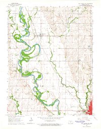
1964 · Clay Center NW
USGS Topo · 1:24,000
1964 · Clay Center SW
USGS Topo · 1:24,000
1964 · Miltonvale
USGS Topo · 1:24,000
1964 · Miltonvale NE
USGS Topo · 1:24,000
1965 · Manchester NW
USGS Topo · 1:24,000