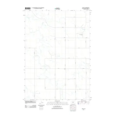
2012 Map of Ideal
USGS Topo · Published 2012About this map
The settlement of Ideal sits as a central point in this rural Tripp County landscape, where the prairie is defined by a grid of numbered roads and meandering waterways. Drainages like Dog Ear Cr and Owl Cr cut through the sections, creating a natural contrast to the geometric precision of routes such as 312th Ave and 266th St. A notable functional landmark in the northeast is the Heller Landing Strip, indicating the importance of private aviation for transport and agricultural management in this open terrain. The map captures the specialized infrastructure of South Dakota's farm country, where county routes like Co Rd 6140 facilitate the movement of goods between isolated homesteads and the local community hub.
Find a feature on this map
19 named features on this map. Tap any name to fly to it.
Don’t see what you’re looking for? This feature index may not catch every label — zoom into the map to look around manually.
Map Details
Editions of this 2012 Ideal Map
This is the sole edition of this map. No revisions or reprints were ever made.
Other maps of this area

1951 · Presho 4 NE
USGS Topo · 1:24,000

1951 · Ideal NW
USGS Topo · 1:24,000

1951 · Ideal NE
USGS Topo · 1:24,000

1955 · Martin
USGS Topo · 1:250,000

1955 · Mitchell
USGS Topo · 1:250,000

1958 · Martin
USGS Topo · 1:250,000

1959 · Mitchell
USGS Topo · 1:250,000

1982 · Presho 4 SE
USGS Topo · 1:25,000

1982 · King Dam
USGS Topo · 1:25,000

1982 · Winner North
USGS Topo · 1:25,000