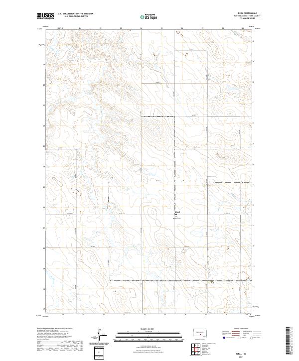
2021 Map of Ideal
USGS Topo · Published 2021About this map
Ideal sits within a landscape defined by the drainage of Dog Ear Cr and Owl Cr, where the high plains of Tripp County meet the established section lines of the Public Land Survey System. This 2021 survey illustrates a classic South Dakota agricultural layout, organized by a precise grid of rural routes including 311th Ave and Co Rd 6140. The small settlement is anchored by the Holy Spirit Cem, a significant site for local genealogy and regional history. The topography reveals the intricate erosion patterns of the creek beds as they cut through the surrounding tableland, showing how local water sources influenced the placement of original homesteads and modern road networks.
Find a feature on this map
22 named features on this map. Tap any name to fly to it.
Don’t see what you’re looking for? This feature index may not catch every label — zoom into the map to look around manually.
Map Details
Editions of this 2021 Ideal Map
This is the sole edition of this map. No revisions or reprints were ever made.
Other maps of this area

1951 · Presho 4 NE
USGS Topo · 1:24,000

1951 · Ideal NW
USGS Topo · 1:24,000

1951 · Ideal NE
USGS Topo · 1:24,000

1955 · Martin
USGS Topo · 1:250,000

1955 · Mitchell
USGS Topo · 1:250,000

1958 · Martin
USGS Topo · 1:250,000

1959 · Mitchell
USGS Topo · 1:250,000

1982 · Presho 4 SE
USGS Topo · 1:25,000

1982 · King Dam
USGS Topo · 1:25,000

1982 · Winner North
USGS Topo · 1:25,000