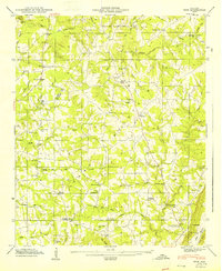
1947 Map of Ider
USGS Topo · Published 1947About this map
Sand Mountain dominates this 1946 field study, revealing a landscape defined by upland plateaus and the transition into the Little River Valley at Troxel Gap. The settlement at Ider serves as a central point along Alabama 75, surrounded by numerous named crossroads that highlight the rural transport network of the mid-1940s, including Beaty Crossroads and Townsend Crossroads. Industrial and social history is grounded in the presence of Yorks Mill and Old Blevins Mill along the northern creeks.
Find a feature on this map
56 named features on this map. Tap any name to fly to it.
Don’t see what you’re looking for? This feature index may not catch every label — zoom into the map to look around manually.
Map Details
Editions of this 1947 Ider Map
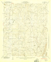
2 editions found
Other maps of this area

1886 · Stevenson
USGS Topo · 1:125,000

1892 · Stevenson
USGS Topo · 1:125,000

1895 · Stevenson
USGS Topo · 1:125,000

1936 · Trenton
USGS Topo · 1:24,000

1936 · Ider
USGS Topo · 1:24,000

1936 · Flat Rock
USGS Topo · 1:24,000

1936 · Dugout Valley
USGS Topo · 1:24,000

1936 · Sulphur Springs
USGS Topo · 1:24,000

1936 · Sylvania
USGS Topo · 1:24,000

1936 · Stevenson
USGS Topo · 1:24,000