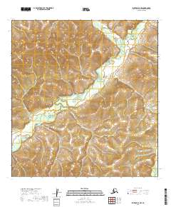
2019 Map of Iditarod A-3 NW
USGS Topo · Published 2019About this map
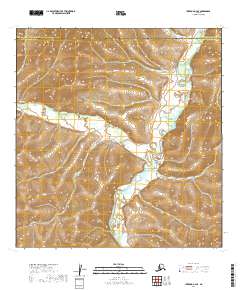
George River winds through this interior Alaskan wilderness, forming the central drainage for a landscape defined by sharp ridge lines and sprawling wetlands. This 2019 survey captures the drainage patterns of the Julian Cr and Michigan Cr systems as they intersect with the larger river valley. The map details the complex topography within the boundaries of t24n r44w and surrounding townships, where the elevation changes highlight the transition from high, unnamed summits to the low-lying bogs typical of the Yukon-Koyukuk region. This terrain represents the remote, unpopulated character of the Alaskan interior, providing an essential record for those studying the hydrography of the George River basin.
Find a feature on this map
7 named features on this map. Tap any name to fly to it.
Don’t see what you’re looking for? This feature index may not catch every label — zoom into the map to look around manually.
Map Details
Editions of this 2019 Iditarod A-3 NW Map
This is the sole edition of this map. No revisions or reprints were ever made.
Other maps of this area

1951 · Iditarod
USGS Topo · 1:250,000

1954 · Iditarod A-4
USGS Topo · 1:63,360

1954 · Iditarod A-3
USGS Topo · 1:63,360

1954 · Iditarod B-3
USGS Topo · 1:63,360

1954 · Iditarod B-4
USGS Topo · 1:63,360

1956 · Iditarod
USGS Topo · 1:250,000
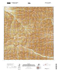
2019 · Iditarod B-4 SE
USGS Topo · 1:25,000
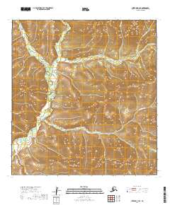
2019 · Iditarod B-3 SE
USGS Topo · 1:25,000
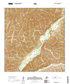
2019 · Iditarod A-3 SW
USGS Topo · 1:25,000
2019 · Iditarod A-4 SE
USGS Topo · 1:25,000