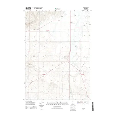
2013 Map of Idmon
USGS Topo · Published 2013About this map
Camas Meadows dominates the hydrologic landscape of this high-elevation corner of Idaho, where the complex drainage of Camas Creek and its many tributaries, including Crooked Cr and Spring Cr, move through the open valley. The small settlements of Idmon and Eighteenmile are connected by a grid of rural routes, including the prominent Red Rd and Idmon Rd.
Find a feature on this map
25 named features on this map. Tap any name to fly to it.
Don’t see what you’re looking for? This feature index may not catch every label — zoom into the map to look around manually.
Map Details
Editions of this 2013 Idmon Map
This is the sole edition of this map. No revisions or reprints were ever made.
Other maps of this area

1955 · Dubois
USGS Topo · 1:250,000

1955 · Ashton
USGS Topo · 1:250,000

1958 · Dubois
USGS Topo · 1:250,000
1958 · Ashton
USGS Topo · 1:250,000
1960 · Ashton
USGS Topo · 1:250,000
1964 · Dubois NE
USGS Topo · 1:24,000
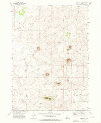
1972 · Pine Butte
USGS Topo · 1:24,000
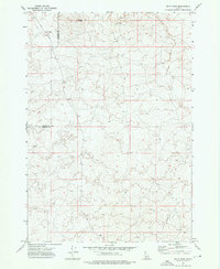
1972 · Split Rock
USGS Topo · 1:24,000
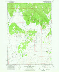
1972 · Antelope Valley
USGS Topo · 1:24,000
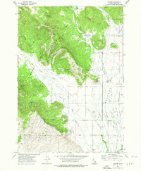
1972 · Kilgore
USGS Topo · 1:24,000