1908 Map of Ignacio
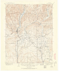
USGS Topo · Published 1951About this map
The Animas River valley serves as the central artery for this early 20th-century landscape, where the Denver and Rio Grande RR winds south through Durango and Animas City Mtn. This era is defined by the intersection of settler expansion and Indigenous land tenure, marked clearly by the South Boundary Ceded Ute Land and the presence of the Ute Indian Agency near Ignacio. Agriculture and resource extraction are evident in the network of irrigation projects like the Farmington and Denver Ditch and the Florida Ditch, as well as Browns Sawmill near Sawmill Canyon. To the north, the San Juan National Forest encompasses the high peaks and recreational draws like Pinkerton Hot Springs. Small rural communities and schoolhouses, including the Little Red Sch and Grommet Oxford PO, anchor the outlying agricultural districts near the Florida River.
Find a feature on this map
74 named features on this map. Tap any name to fly to it.
Don’t see what you’re looking for? This feature index may not catch every label — zoom into the map to look around manually.
Map Details
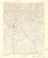
Editions of this 1908 Ignacio Map
3 editions found

Other maps of this area

1889 · Largo
USGS Topo · 1:250,000

1889 · Chaco
USGS Topo · 1:250,000

1892 · Chaco
USGS Topo · 1:250,000

1895 · Largo
USGS Topo · 1:250,000

1895 · La Plata
USGS Topo · 1:62,500

1897 · La Plata
USGS Topo · 1:62,500

1897 · Rico
USGS Topo · 1:62,500

1898 · Durango
USGS Topo · 1:62,500

1898 · Engineer Mountain
USGS Topo · 1:62,500

1898 · Rico
USGS Topo · 1:62,500