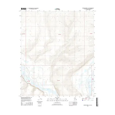
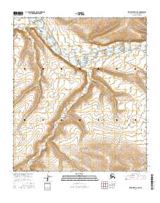
2016 Map of Ikpikpuk River A-2 SW
USGS Topo · Published 2016About this map
The Colville River carves a broad valley through this portion of the North Slope, exhibiting the characteristic braided channels and oxbow lakes of an Arctic waterway. This survey captures a remote landscape defined by the confluence of the Killik River as it joins the larger Colville system from the south. The terrain is marked by significant elevation changes, with the southern highlands transitioning into the expansive river basin. The absence of roads or permanent settlements underscores the isolation of this region within the North Slope Borough, where the natural drainage patterns of the tundra and the migration of riverbanks are the primary geographic features of interest for those studying the Alaskan wilderness or hydraulic history.
Find a feature on this map
8 named features on this map. Tap any name to fly to it.
Don’t see what you’re looking for? This feature index may not catch every label — zoom into the map to look around manually.
Map Details
Editions of this 2016 Ikpikpuk River A-2 SW Map
This is the sole edition of this map. No revisions or reprints were ever made.
Other maps of this area

1951 · Ikpikpuk River
USGS Topo · 1:250,000
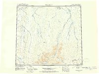
1951 · Killik River
USGS Topo · 1:250,000
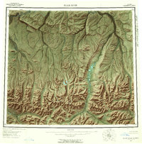
1956 · Killik River
USGS Topo · 1:250,000

1956 · Ikpikpuk River
USGS Topo · 1:250,000
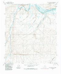
1984 · Killik River D-2
USGS Topo · 1:63,360
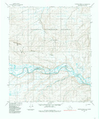
1984 · Ikpikpuk River A-3
USGS Topo · 1:63,360
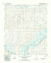
1984 · Ikpikpuk River A-2
USGS Topo · 1:63,360
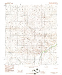
1986 · Killik River D-3
USGS Topo · 1:63,360
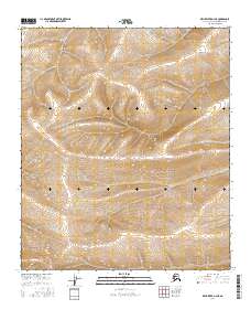
2016 · Killik River D-3 NE
USGS Topo · 1:25,000
2016 · Killik River D-2 NE
USGS Topo · 1:25,000