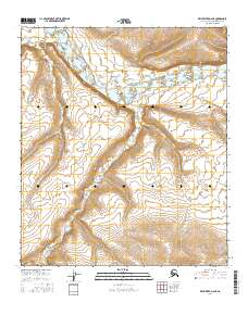
2016 Map of Killik River D-2 NE
USGS Topo · Published 2016About this map
The Killik River valley dominates this remote Arctic terrain, where the wide river braid cuts a broad path across the northern half of the landscape. Two primary tributaries, Mayuasanik Cr and Quandary Cr, drain the elevated ground to the south and west, carving through high-elevation contours that reach well above 1,000 feet. This 2016 survey, produced by the U.S. Geological Survey, reflects the modern topography of the Alaska-North Slope Borough, highlighting the complex network of mountain streams and the distinctive alluvial patterns of the river system. The map serves as a primary record of the hydrography within the t5s r8w and t6s r8w township boundaries, where the lack of roads or infrastructure underscores the untouched character of this northern wilderness.
Find a feature on this map
7 named features on this map. Tap any name to fly to it.
Don’t see what you’re looking for? This feature index may not catch every label — zoom into the map to look around manually.
Map Details
Editions of this 2016 Killik River D-2 NE Map
This is the sole edition of this map. No revisions or reprints were ever made.
Other maps of this area

1951 · Ikpikpuk River
USGS Topo · 1:250,000

1951 · Killik River
USGS Topo · 1:250,000

1956 · Killik River
USGS Topo · 1:250,000

1956 · Ikpikpuk River
USGS Topo · 1:250,000
1984 · Killik River D-2
USGS Topo · 1:63,360
1984 · Ikpikpuk River A-1
USGS Topo · 1:63,360

1984 · Ikpikpuk River A-2
USGS Topo · 1:63,360
1986 · Killik River D-1
USGS Topo · 1:63,360
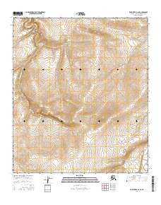
2016 · Killik River D-2 SE
USGS Topo · 1:25,000
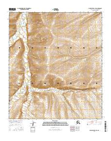
2016 · Killik River D-2 SW
USGS Topo · 1:25,000