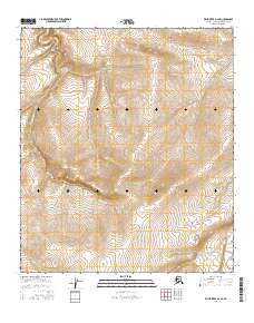
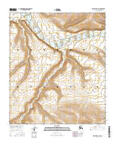
2016 Map of Killik River D-2 SE
USGS Topo · Published 2016About this map
Quandary Cr carves a winding path through this North Slope landscape, acting as the primary drainage for a series of high-elevation basins. Located within the remote interior, the terrain is defined by the stark topography of the Brooks Range foothills, where the drainage patterns of Quandary Cr and its unnamed tributaries reveal the complex glacial and erosional history of the region. The map provides a high-resolution view of the area's relief, showing the steep gradients and the transition from alpine headwaters to broader valleys.
Find a feature on this map
7 named features on this map. Tap any name to fly to it.
Don’t see what you’re looking for? This feature index may not catch every label — zoom into the map to look around manually.
Map Details
Editions of this 2016 Killik River D-2 SE Map
This is the sole edition of this map. No revisions or reprints were ever made.
Other maps of this area

1951 · Killik River
USGS Topo · 1:250,000

1956 · Killik River
USGS Topo · 1:250,000
1984 · Killik River D-2
USGS Topo · 1:63,360
1986 · Killik River C-2
USGS Topo · 1:63,360
1986 · Killik River D-1
USGS Topo · 1:63,360
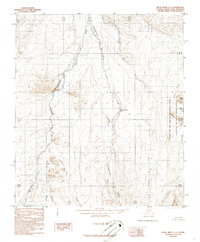
1986 · Killik River C-1
USGS Topo · 1:63,360
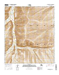
2016 · Killik River D-2 SW
USGS Topo · 1:25,000
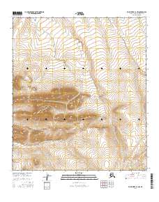
2016 · Killik River C-2 NW
USGS Topo · 1:25,000
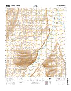
2016 · Killik River C-1 NW
USGS Topo · 1:25,000
2016 · Killik River D-2 NE
USGS Topo · 1:25,000