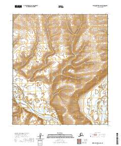
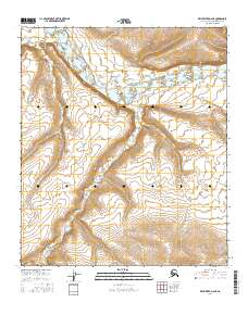
2020 Map of Ikpikpuk River A-2 SW
USGS Topo · Published 2020About this map
Colville River and its southern tributary, the Killik River, dominate the lower half of this landscape in the northern foothills of the Brooks Range. The terrain is defined by a dense network of contour lines that reveal the dramatic relief of the uplands rising north of the river basins. This specific region of the North Slope reflects a wilderness shaped by massive alluvial systems, where the confluence of these two major rivers creates a complex pattern of gravel bars and shifting channels. Surveyed for the North Slope Borough, the map provides a precise record of the natural topography and the legal boundaries of the Public Land Survey System, including t4s r9w and t5s r9w, in a region where few permanent settlements or man-made landmarks exist.
Find a feature on this map
8 named features on this map. Tap any name to fly to it.
Don’t see what you’re looking for? This feature index may not catch every label — zoom into the map to look around manually.
Map Details
Editions of this 2020 Ikpikpuk River A-2 SW Map
This is the sole edition of this map. No revisions or reprints were ever made.
Other maps of this area

1951 · Ikpikpuk River
USGS Topo · 1:250,000

1951 · Killik River
USGS Topo · 1:250,000

1956 · Killik River
USGS Topo · 1:250,000

1956 · Ikpikpuk River
USGS Topo · 1:250,000
1984 · Killik River D-2
USGS Topo · 1:63,360

1984 · Ikpikpuk River A-3
USGS Topo · 1:63,360

1984 · Ikpikpuk River A-2
USGS Topo · 1:63,360
1986 · Killik River D-3
USGS Topo · 1:63,360
2016 · Killik River D-3 NE
USGS Topo · 1:25,000
2016 · Killik River D-2 NE
USGS Topo · 1:25,000