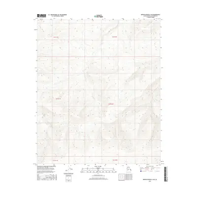
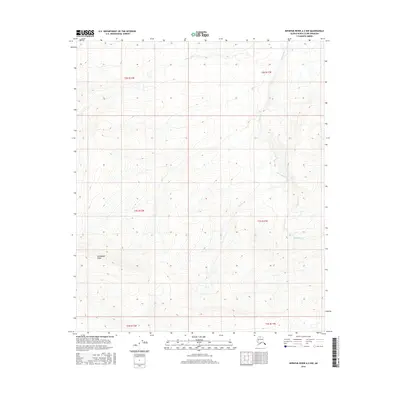
2016 Map of Ikpikpuk River A-3 NE
USGS Topo · Published 2016About this map
September Creek flows through this expansive section of the Alaska North Slope, providing a rare hydrological anchor in a landscape defined by intricate elevation contours. The drainage pattern of this waterway, which cuts through the southern reaches of the quadrangle, reveals the gradual topographic shifts characteristic of this high-latitude terrain. While the region is primarily divided by the Public Land Survey System grids of t3s r11w, t3s r10w, and t4s r11w, the natural course of the creek offers the only named geographical landmark for navigating this remote northern interior. The isolation of the terrain is reflected in the lack of established infrastructure, emphasizing a landscape shaped by natural drainage rather than human development.
Find a feature on this map
7 named features on this map. Tap any name to fly to it.
Don’t see what you’re looking for? This feature index may not catch every label — zoom into the map to look around manually.
Map Details
Editions of this 2016 Ikpikpuk River A-3 NE Map
This is the sole edition of this map. No revisions or reprints were ever made.
Other maps of this area

1951 · Ikpikpuk River
USGS Topo · 1:250,000

1956 · Ikpikpuk River
USGS Topo · 1:250,000
1984 · Ikpikpuk River A-3
USGS Topo · 1:63,360
1984 · Ikpikpuk River A-2
USGS Topo · 1:63,360
1985 · Ikpikpuk River B-3
USGS Topo · 1:63,360
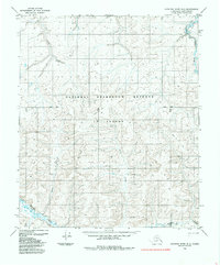
1985 · Ikpikpuk River B-2
USGS Topo · 1:63,360
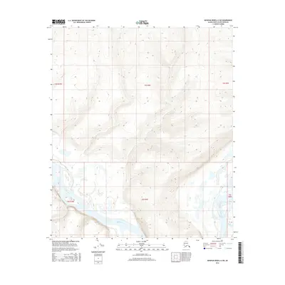
2016 · Ikpikpuk River A-2 SW
USGS Topo · 1:25,000
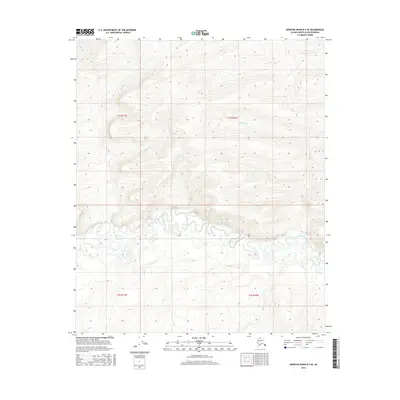
2016 · Ikpikpuk River B-3 SE
USGS Topo · 1:25,000
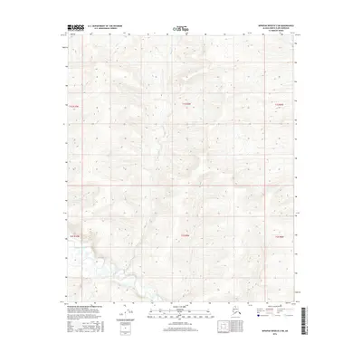
2016 · Ikpikpuk River B-2 SW
USGS Topo · 1:25,000
2016 · Ikpikpuk River A-3 NW
USGS Topo · 1:25,000