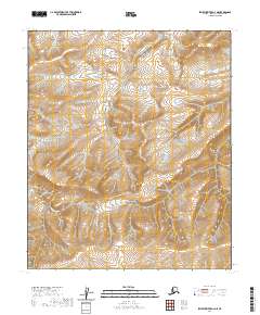
2020 Map of Ikpikpuk River A-3 NE
USGS Topo · Published 2020About this map
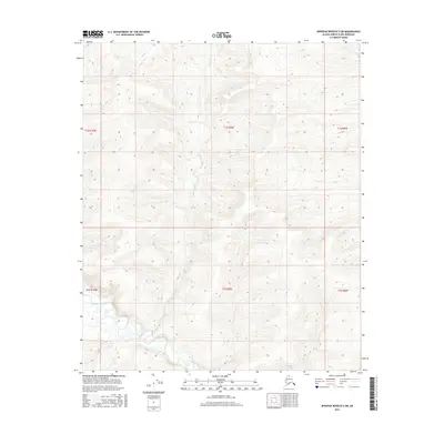
September Creek winds through this Arctic landscape, serving as the primary drainage across a vast expanse of the North Slope. Surveyed by the U.S. Department of the Interior, the map reveals the complex hydrography of this interior region, where seasonal water flow shapes the surface of the tundra. The terrain is defined by its Public Land Survey System divisions, including sections of t2s r11w, t3s r10w, and t4s r11w. This topography reflects the immense scale of the Alaskan wilderness, where named features like September Creek provide the few distinct landmarks for navigation and land management in a territory characterized by subtle elevation changes and intricate water networks.
Find a feature on this map
7 named features on this map. Tap any name to fly to it.
Don’t see what you’re looking for? This feature index may not catch every label — zoom into the map to look around manually.
Map Details
Editions of this 2020 Ikpikpuk River A-3 NE Map
This is the sole edition of this map. No revisions or reprints were ever made.
Other maps of this area

1951 · Ikpikpuk River
USGS Topo · 1:250,000

1956 · Ikpikpuk River
USGS Topo · 1:250,000

1984 · Ikpikpuk River A-3
USGS Topo · 1:63,360

1984 · Ikpikpuk River A-2
USGS Topo · 1:63,360

1985 · Ikpikpuk River B-3
USGS Topo · 1:63,360
1985 · Ikpikpuk River B-2
USGS Topo · 1:63,360
2016 · Ikpikpuk River A-2 SW
USGS Topo · 1:25,000
2016 · Ikpikpuk River B-3 SE
USGS Topo · 1:25,000
2016 · Ikpikpuk River B-2 SW
USGS Topo · 1:25,000
2016 · Ikpikpuk River A-3 NW
USGS Topo · 1:25,000