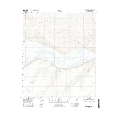
2016 Map of Ikpikpuk River A-4 SW
USGS Topo · Published 2016About this map
Colville River dominates the center of this remote North Slope landscape, carving a wide braided path across the tundra. The river's complex network of gravel bars and seasonal side channels reflects the dynamic hydrology of the Arctic coastal plain during the mid-2010s. Surveyed boundaries for t4s r14w, t4s r15w, and t4s r13w divide the expanse, highlighting the systematic public land grid that overlies this wilderness area. The terrain is defined by low-lying wetlands and subtle elevation changes, where the absence of roads or permanent settlements underscores the isolation of the region within the North Slope Borough.
Find a feature on this map
6 named features on this map. Tap any name to fly to it.
Don’t see what you’re looking for? This feature index may not catch every label — zoom into the map to look around manually.
Map Details
Editions of this 2016 Ikpikpuk River A-4 SW Map
This is the sole edition of this map. No revisions or reprints were ever made.
Other maps of this area

1951 · Ikpikpuk River
USGS Topo · 1:250,000

1951 · Killik River
USGS Topo · 1:250,000

1956 · Killik River
USGS Topo · 1:250,000

1956 · Ikpikpuk River
USGS Topo · 1:250,000

1984 · Killik River D-5
USGS Topo · 1:63,360
1984 · Ikpikpuk River A-4
USGS Topo · 1:63,360
1984 · Ikpikpuk River A-5
USGS Topo · 1:63,360
1986 · Killik River D-4
USGS Topo · 1:63,360
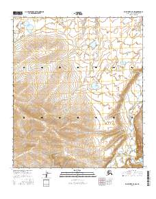
2016 · Killik River D-4 NW
USGS Topo · 1:25,000
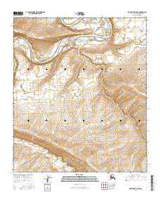
2016 · Killik River D-5 NE
USGS Topo · 1:25,000