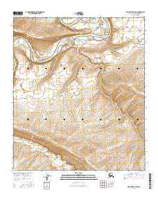
2016 Map of Killik River D-5 NE
USGS Topo · Published 2016About this map
The Colville River flows across the northern reach of this Arctic landscape, carving a wide, braided path through the North Slope. This 2016 survey captures the intricate hydrology of the region, where the main river channel is fed by smaller tributaries like Kucher Cr to the south. The terrain is defined by the sharp transition between the low-lying river valley and the rising elevations of the Brooks Range foothills. Land divisions, including t5s r16w and t5s r15w, mark the vast, uninhabited stretches of the Alaska-North Slope Borough. The map provides a detailed view of the natural watercourses and topographic contours before they reach the Arctic coastal plain, showing the raw geometry of the river's bends and the surrounding drainage patterns.
Find a feature on this map
6 named features on this map. Tap any name to fly to it.
Don’t see what you’re looking for? This feature index may not catch every label — zoom into the map to look around manually.
Map Details
Editions of this 2016 Killik River D-5 NE Map
This is the sole edition of this map. No revisions or reprints were ever made.
Other maps of this area

1951 · Ikpikpuk River
USGS Topo · 1:250,000

1951 · Killik River
USGS Topo · 1:250,000

1956 · Killik River
USGS Topo · 1:250,000

1956 · Ikpikpuk River
USGS Topo · 1:250,000

1984 · Killik River D-5
USGS Topo · 1:63,360
1984 · Ikpikpuk River A-4
USGS Topo · 1:63,360
1984 · Ikpikpuk River A-5
USGS Topo · 1:63,360
1986 · Killik River D-4
USGS Topo · 1:63,360
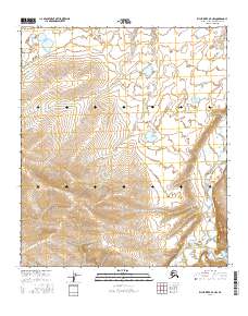
2016 · Killik River D-4 NW
USGS Topo · 1:25,000
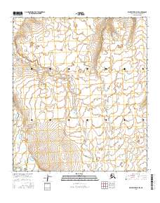
2016 · Killik River D-5 SW
USGS Topo · 1:25,000