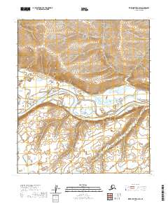
2020 Map of Ikpikpuk River A-4 SW
USGS Topo · Published 2020About this map
The Colville River dominates this portion of Alaska’s North Slope, carving a wide, braided path through the Arctic coastal plain. This 2020 topographic record shows the river’s intricate network of secondary channels and sandbars as they appeared at the start of the decade. The landscape is characterized by a stark absence of human settlement, emphasizing the remote nature of the region. Surveying data reveals a complex system of contours that define the low-lying drainage basins and subtle elevations north of the river. The map also delineates historical land management boundaries, including t4s r14w, t4s r13w, t5s r15w, and t5s r14w, which provide essential reference points for land researchers and surveyors in this largely featureless terrain.
Find a feature on this map
5 named features on this map. Tap any name to fly to it.
Don’t see what you’re looking for? This feature index may not catch every label — zoom into the map to look around manually.
Map Details
Editions of this 2020 Ikpikpuk River A-4 SW Map
This is the sole edition of this map. No revisions or reprints were ever made.
Other maps of this area

1951 · Ikpikpuk River
USGS Topo · 1:250,000

1951 · Killik River
USGS Topo · 1:250,000

1956 · Killik River
USGS Topo · 1:250,000

1956 · Ikpikpuk River
USGS Topo · 1:250,000

1984 · Killik River D-5
USGS Topo · 1:63,360
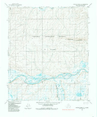
1984 · Ikpikpuk River A-4
USGS Topo · 1:63,360
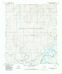
1984 · Ikpikpuk River A-5
USGS Topo · 1:63,360
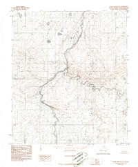
1986 · Killik River D-4
USGS Topo · 1:63,360
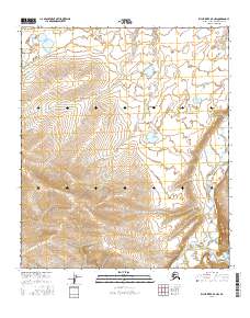
2016 · Killik River D-4 NW
USGS Topo · 1:25,000
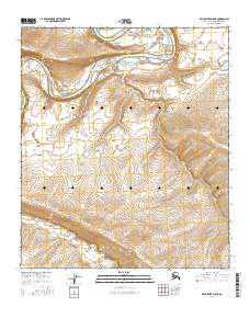
2016 · Killik River D-5 NE
USGS Topo · 1:25,000